Browse Digital Heritage
Search
Sort
Collection
- Pokegnek Yajdanawa (62) Apply Pokegnek Yajdanawa filter
- Kathy Getz Collection (34) Apply Kathy Getz Collection filter
- Mount Pleasant Files (21) Apply Mount Pleasant Files filter
- Kyle Malott Collection (16) Apply Kyle Malott Collection filter
- Bodwéwadmimwen Materials (14) Apply Bodwéwadmimwen Materials filter
- Newberry Library (13) Apply Newberry Library filter
- Treaties (10) Apply Treaties filter
- Simon Pokagon (9) Apply Simon Pokagon filter
- Clarence White Collection (8) Apply Clarence White Collection filter
- Douglas Fisher Collection (7) Apply Douglas Fisher Collection filter
- George Winter Collection (3) Apply George Winter Collection filter
- Oral History Project (2) Apply Oral History Project filter
- Topash-Campbell Collection (2) Apply Topash-Campbell Collection filter
- American Philosophical Society (1) Apply American Philosophical Society filter
- Gary Morseau Collection (1) Apply Gary Morseau Collection filter
- Jerry Lewis Collection (1) Apply Jerry Lewis Collection filter
- Michael Winchester Collection (1) Apply Michael Winchester Collection filter
Digital Heritage
Community
Pokagon Band of Potawatomi IndiansCategory
DocumentsDigital Heritage
Community
Pokagon Band of Potawatomi IndiansCategory
DocumentsDigital Heritage
Community
Pokagon Band of Potawatomi IndiansCategory
DocumentsSummary
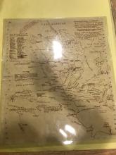
Could only locate corresponding map.Digital Heritage
Community
Pokagon Band of Potawatomi IndiansCategory
DocumentsSummary
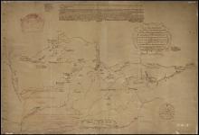
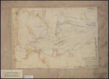
ca. 1850 Tracing made by historian Pierre Margry from ca. 1675 manuscript map variously attributed to explorer Louis Joliet and royal geographer Jean Baptiste Louis Franquelin.Digital Heritage
Community
Pokagon Band of Potawatomi IndiansCategory
DocumentsSummary
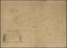
Tracing made ca. 1850 by historian Pierre Margry from 1697 map by French royal geographer Jean Baptiste Louis Franquelin. Based on information supplied by fur trader Pierre-Charles Le Sueur, who explored the Mississippi River valley between 1683-1701.Digital Heritage
Community
Pokagon Band of Potawatomi IndiansCategory
DocumentsSummary
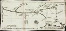
Tracing made ca. 1850 by historian Pierre Margry from 1673 manuscript map by explorer Jacques MarquetteDigital Heritage
Community
Pokagon Band of Potawatomi IndiansCategory
Documents, PhotosSummary
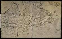
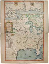
Shows area from James Bay to Cuba and from the headwaters of the Rio Grande to Lake Ontario.Digital Heritage
Community
Pokagon Band of Potawatomi IndiansCategory
DocumentsDigital Heritage
Community
Pokagon Band of Potawatomi IndiansCategory
DocumentsSummary
*Open PDF file to see all document pagesDigital Heritage
Community
Pokagon Band of Potawatomi IndiansCategory
DocumentsSummary
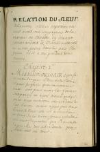
*Open PDF file to see all document pages; Lamothe Cadillac's description, probably from around 1693-1697, of the French settlement at Michilimackinac, and the customs and traditions of the neighboring Indian tribes.Digital Heritage
Community
Pokagon Band of Potawatomi IndiansCategory
DocumentsSummary
*Open the map key PDF to see translations