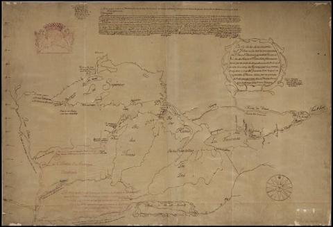
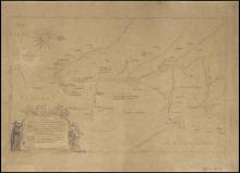
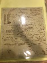
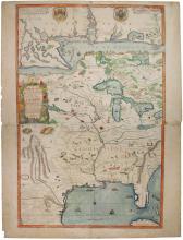
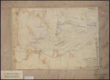
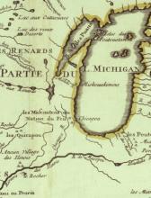
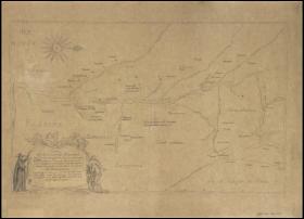
Carte de la descouverte du Sr. Jolliet
Summary:
ca. 1850 Tracing made by historian Pierre Margry from ca. 1675 manuscript map variously attributed to explorer Louis Joliet and royal geographer Jean Baptiste Louis Franquelin.Description:
Carte de la descouverte du Sr. Jolliet ou l'on voit la communication du Fleuve St. Laurens avec les Lacs Frontenac, Erié, Lac des Hurons et Ilinois le Lac Frontenac est separé par un sault de demeye lieue du Lac Erié, duquel on entre dans celuy des Hurons
Shows region bounded by Montreal, the Great Lakes, the headwaters of the Mississippi, and the course of the Ohio River; includes transcription of letter from Joliet to Louis de Buade, comte de Frontenac. ca. 1850 Tracing made by historian Pierre Margry from ca. 1675 manuscript map variously attributed to explorer Louis Joliet and royal geographer Jean Baptiste Louis Franquelin. The original is held by the Service Hydrographique (Paris), no. B 4044-37.
