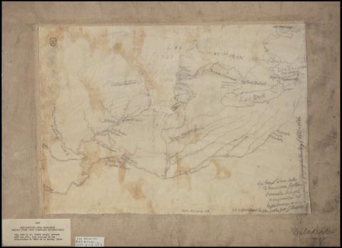
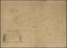
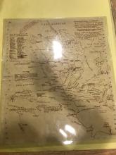
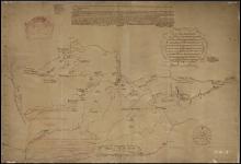
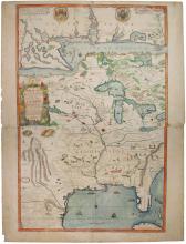
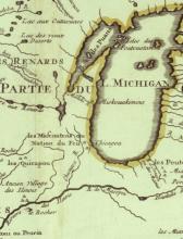
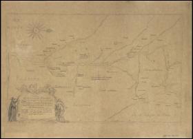
Extrait d'une carte d'Amerique Septentrionale
Description:
Covers the Great Lakes region, the Ohio River valley, and the upper Mississippi and lower Missouri river valleys. Identifies forts and Indian villages. Lacks cartouches and dedication to the Marquis de Seignelay on original.Partial tracing made by historian Pierre Margry ca. 1850 from 1687 ms. by Jean Baptiste Louis Franquelin. Original map in the Service hydrographique in Paris (no. B 4040-6) later transferred to the Service historique de la marine in Vincennes (no. 66-6)
