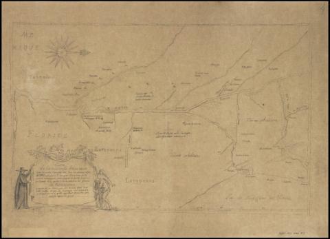
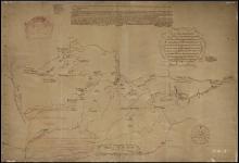
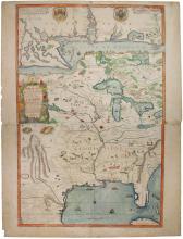
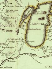
Carte de la nouvelle decouverte que les peres Ieusuistes ont fait en l'annee 1672
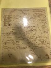
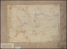
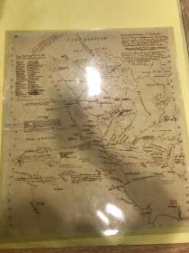
Shows the Mississippi River Valley from central Wisconsin to the Gulf of Mexico, detailing the Illinois, Missouri, and Red Rivers; identifies numerous Indian tribes and villages. Tracing made ca. 1850 by historian Pierre Margry from 1673 manuscript map by explorer Jacques Marquette; original filed in the prints collection of the Bibliotheque Nationale (France) as Estampes, Vd. 30. See Jackson, Jack. Manuscript maps concerning the Gulf Coast (Chicago: Hermon Dunlap Smith Center for the History of Cartography, 1995) p. 3 no. 12
Contains multiple tribal affiliations, some French names for tribal groups. Mascouten, Illinois, "Puans" (Hochunk), "Cachouachsia" (Kaskkasia?), "Tavares," "Sabanghiharea," Kaskinsba," Matahali," Aganahale," Monseperea," "Dakansea," "Mitchigamea," "Ololchafse," Matona," "Emamseta," "Tamisa," "Paniafsa," Ahiaichi,"
